 |
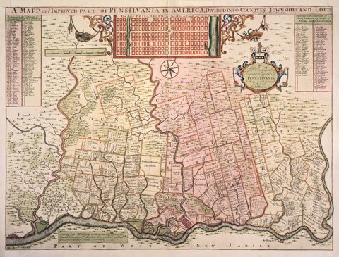
| Figure 2 Thomas Holme (1624–1695), A Mapp of Ye Improved Part of Pensilvania in America, London, ca. 1700. Hand colored engraving. 12 1/8" x 18". (Private collection; photo, Lynne Rosenthal.) James Claypoole’s land appears on this early map to the left of the tract designated “German Township.” His eldest son John, who worked as an assistant to Thomas Holme, likely played a part in its creation. The engraving is by George Willdey. |
|
|